
In the southeast of Lanzarote, is located one of the most remarkable volcanic formations of the island, Los Ajaches. Today we go through its mountains and steep valleys, of which many of them are a wonderful vantage point with amazing views. Are you going with us?
ROUTE: Los Ajaches
START: In the village square of Femés
DISTANCE: 10 kms DIFFICULTY: High
SLOPE: 410 meters TYPE: Circular route
DURATION: 2 hours
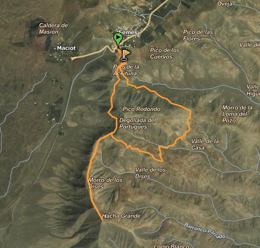
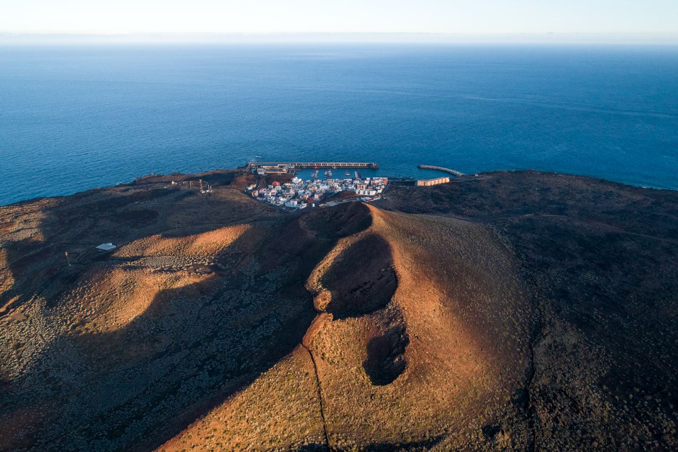
We start the tour in the centre of Femés, just in the village square. The first thing we will do is cross the main road to Playa Blanca (LZ-702) and go up by an unpaved path (El Filo street), which leads to the top of the mountain that we have in front of us, just where a farm is. When we are there, we will take a narrow trail to the right hand side with high slopes while we are descending, which will lead to a crossing where will turn right, coming across another farm. From here, we can make out the highest peak of the route, the Ajache Grande, with a height of 561 meters. After this stop, we will begin to ascend this mountain on a zigzag lane. For the incline, we will stop to enjoy a magnificent panoramic from here of the south of the island, with the Salinas de Janubio, the village of Femés, the town of Playa Blanca and the stunning Papagayo Beach at the background. Even if the sky is clear, we can sight the Lobos island, and the north of Fuerteventura, with the amazing sand dunes of Corralejo.

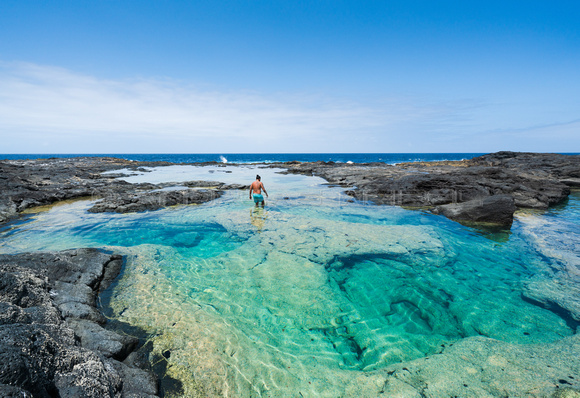
After looking at these postcard places, we will start to descend on the same way, always with caution as this is a unstable land, and with many inclines. On arrival to the farm, we will continue taking a diversion to the right, going down through the valley to see from here the coves with black sand on this are like Pozo Beach. When we find a small house and a pool on this side as well, we will start to go up on a path, which will lead to the village of Femés again.
What can we see during the trail?
Along the route, we will find spots of great archaeological interest, like caves, engravings and traces left of the old shepherding tradition. In spite of the land here is arid and hostile, we can see some vegetables which survive in this area, like prickly pears, thickets and “tabaibales” in the most protected corners.
Also, it is likely that we bump into goats on the way, and make out steppe birds, birds of prey, even seabirds on the cliffs of the coast.
Some tips to keep in mind:
- Take with you food and above all drinks, as with the sunshine and the high temperatures we must avoid the risk of dehydration.
- It is advisable to wear, at all times, a cap and sun cream to protect us from the strong sunshine of the south of the island, as for the route there are hardly any shade spots.
- It is very important to wear appropriate shoes, as the land here is sometimes very unstable, with many inclines, which leads to cause slips.

Photos by:
- wikiloc.com
- holaislascanarias.com
- escapadarural.com
Echa un vistazo a nuestros consejos de viaje


 Senden...