
Today we invite you to discover one of the most famous and beautiful routes and with amazing views of Lanzarote. It is the route between the villages of Caleta de Famara and Haría that goes along the ravine called La Paja. Are you ready?
TREKKING: Famara- Haría
START : in the village of Famara.
DISTANCE: 13 km DIFFICULTY: medium
SLOPE: 634 metres TYPE:lineal route
DURATION: 4 hours and a half media

FAMARA-RAVINE „LA PAJA“
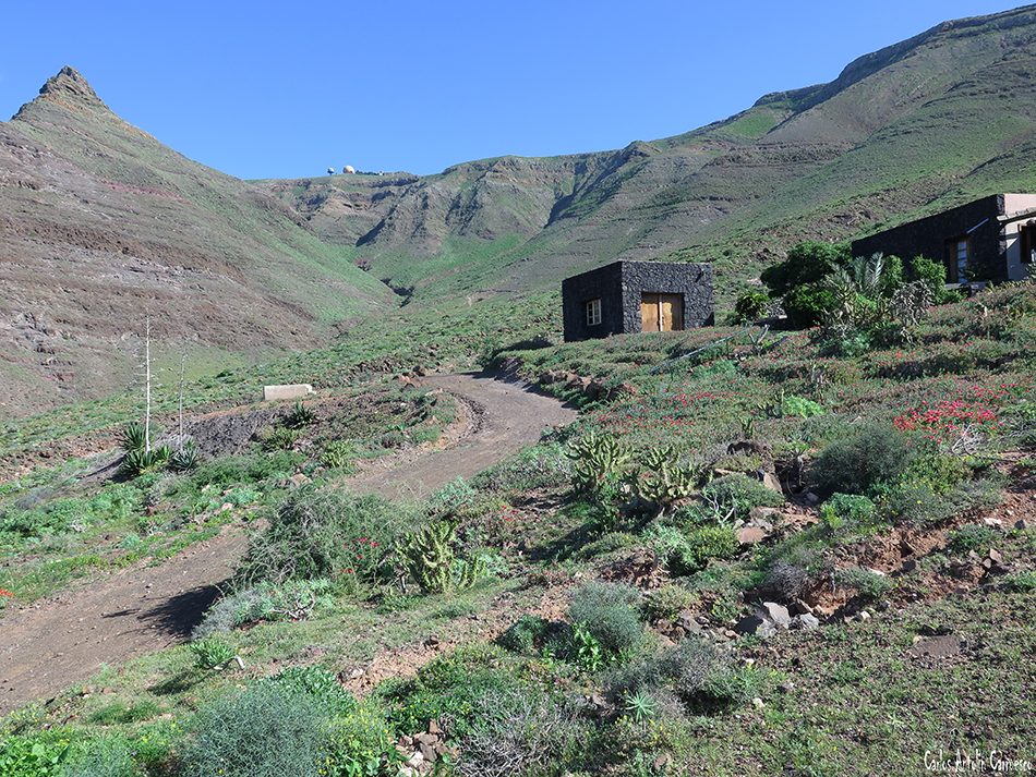
The trekking route has a distance of 11 km. It begins in the village of Caleta de Famara and the first two kilometres could be done by the main road or by the beach. We should go to the high part of the urbanisation known as “Los Noruegos”. Just we are there, we take the dirt path called “Las Laderas” and go up through the ravine “La Poceta” to arrive to the other ravine, “La Paja”.
The path is narrow but easy to follow. However, in some parts of the route it is rocky, so we recommend to follow the path and do it at your own rhythm and without getting off the path. The last part of the route till the peak is a zig-zag route to bridge the gap. The peak is situated 621 metres above sea level and is near to the highest point of the island the “Peñas del Chache”.


BOSQUECILLO – HARIA
From the top, the view of the Famara beach and the area known as “Jable”* are amazing. The vegetation of the area mainly consist of Balsam Spurge (Euphorbia balsamífera), Espinos (Licium intricatum) and Matorriscos (Lavandula pinnata). We will arrive to a building in the form of a sphere and in our back we will have the church of Las Nieves. We continue the path bordering the cliff that take us to the recreational area of El Bosquecillo. When we arrive there, we turned off the path to go to the viewpoint and look at the immensity of the cliff of Famara and part of the coast that goes from the village of Famara to Soo.

After the stop, we continue the route following the path that takes us direct to the Malpaso Valley to descent to the village of Haría. The first part of the path is narrow and with slope. Near to Haría the landscape changes, we will find some pine trees and a wooded area, different of the main part of the route. The path widens in the last part and transforms into a dirt path that takes us to the area of the highschool and the football pitch. From there we could go easily to the center of the village of Haría.
*Jable: it is a canary word that means “white sand of the beach”.
Photos:
- Wildcanarias
- Flickr
Check out our Travel Tips


 Senden...